Meet the machines
Technical inspection, luggage discipline and recovery-point briefing.
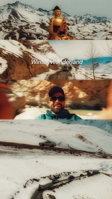
Remote trails, river crossings and a landscape that keeps its distance.
Get current itineraryA raw 4×4 route through Zanskar's isolated valleys, dramatic gorges and evolving road network—built around flexibility and field decisions.
This preview communicates the expedition rhythm. Final day-by-day movement is confirmed against current access, permits and weather.
Technical inspection, luggage discipline and recovery-point briefing.
High passes, changing surfaces and long-distance convoy movement.
Padum, remote settlements and trail decisions based on live road reports.
Complete the traverse and close the expedition log together.
Expedition lead and convoy coordination
Route planning and on-ground navigation
Curated stays on twin-sharing basis
Breakfast and dinner on expedition days
Recovery guidance and emergency support
Fuel, tolls and personal vehicle expenses
Flights, trains and travel to the reporting point
Personal insurance and medical expenses
Anything not explicitly listed as included
Valid driving licence and government identification
Roadworthy 4×4 or a pre-booked expedition vehicle
Medical fitness for remote, high-altitude travel
Respect for convoy discipline and local conditions
Ask for the current itinerary, vehicle options, dates and final quote.
Talk to the expedition crew